Water Trails of the Ancients

© Maurice Evans
The deserts of the American Southwest abound with ancient literature. Carvings litter the desert like windblown newspaper clippings. Countless people sweated, bled, and died on these lands, and many of them left their marks. The Southwest’s ancient inhabitants worked hard to scrape their living out of the barren soil. In light of that fact, I’ve always believed that the figures and pictures painstakingly chipped into rock were either highly functional or highly ceremonial; certainly more than the idle graffiti of bored, shiftless teenagers.
As a kid I dreamed of following cryptic symbols through the desert and discovering a forgotten trove of Spanish or Aztec treasure. It’s one of those whims that easily seizes the imagination. A small group of amateur archaeologists from Fredonia, Arizona recently lived a version of that dream. They discovered what appears to be a directional system of petroglyphs in Utah, Arizona, and Nevada. The treasure at the end of the trail, however, isn’t gold. It’s water.
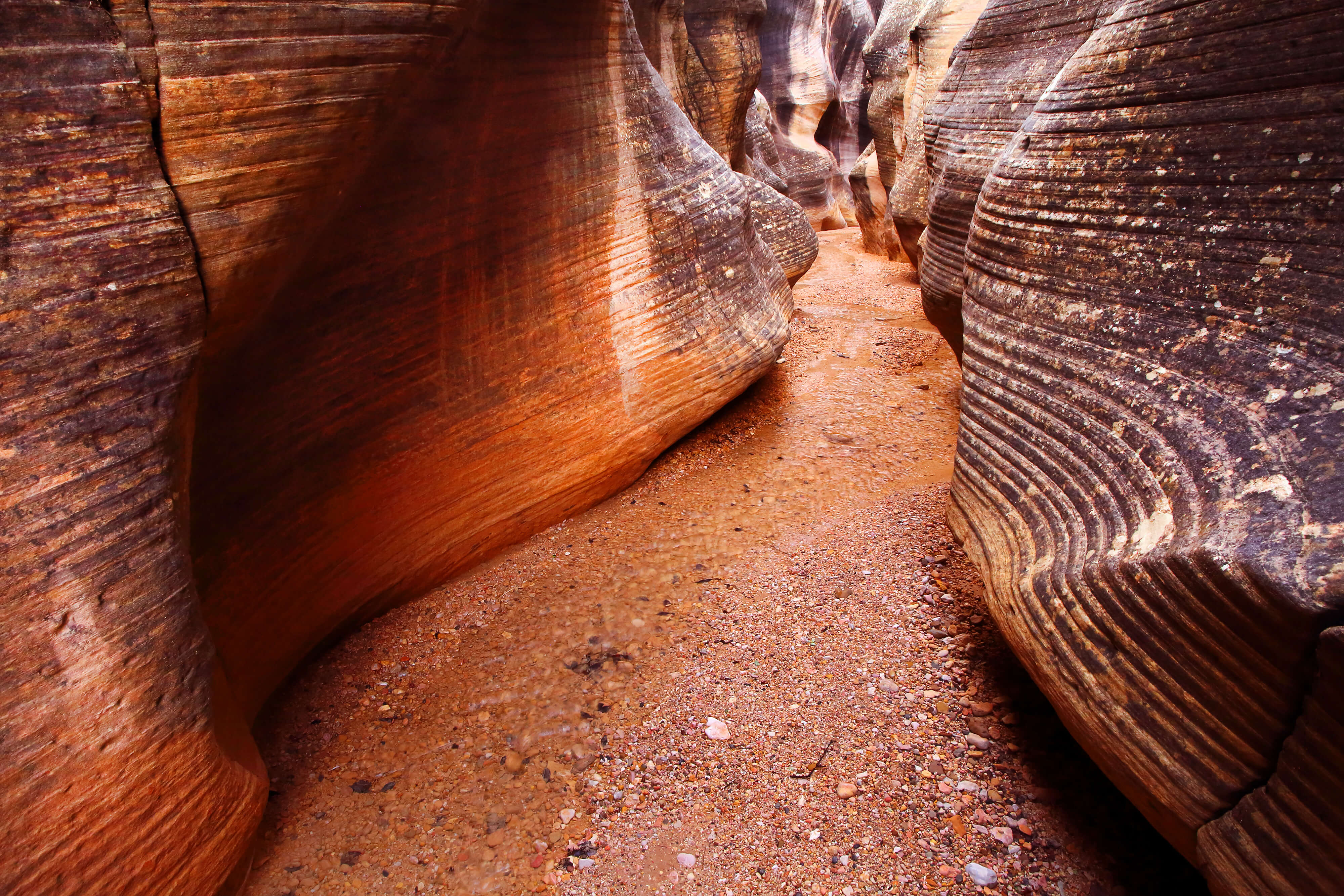
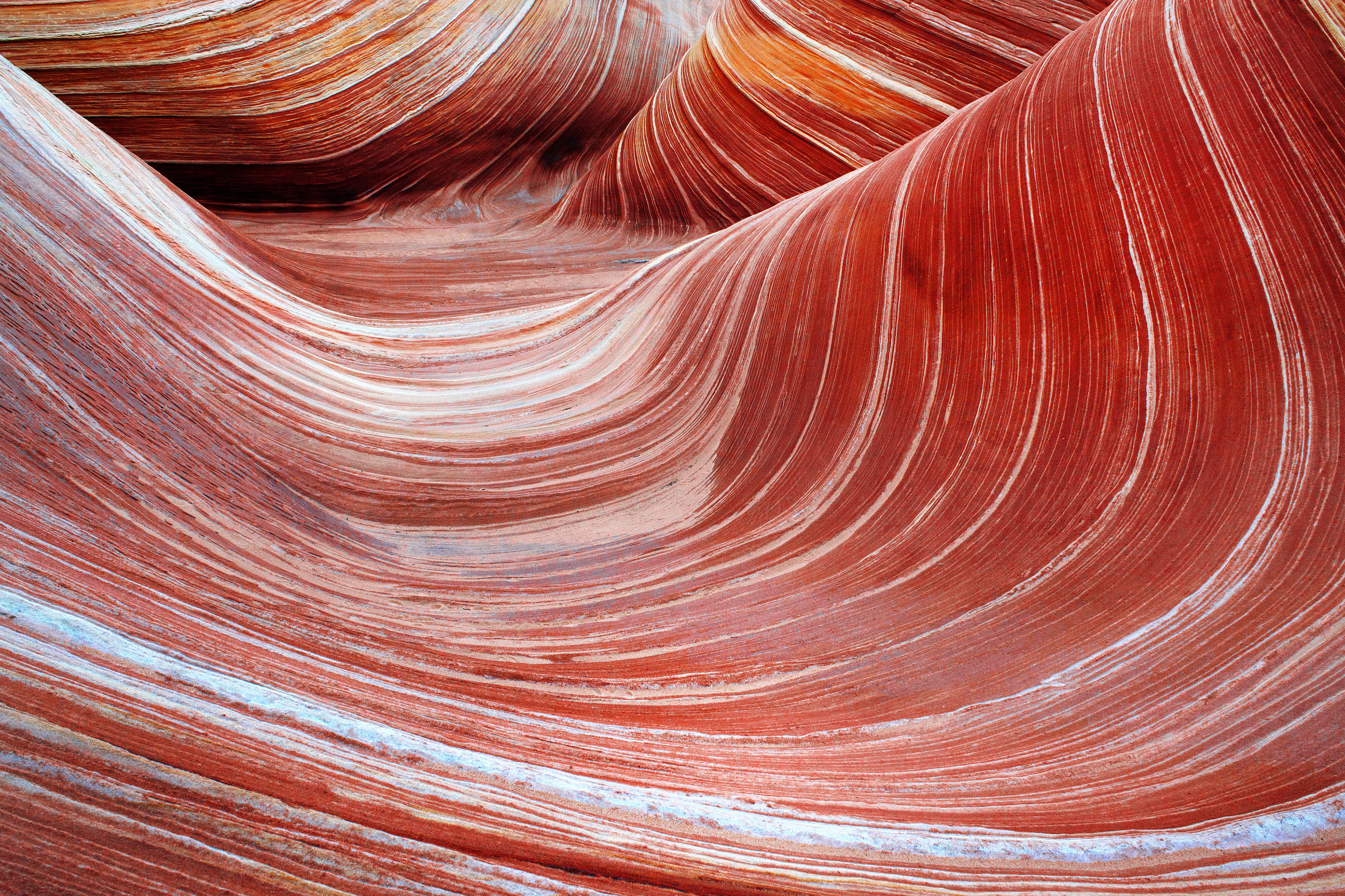
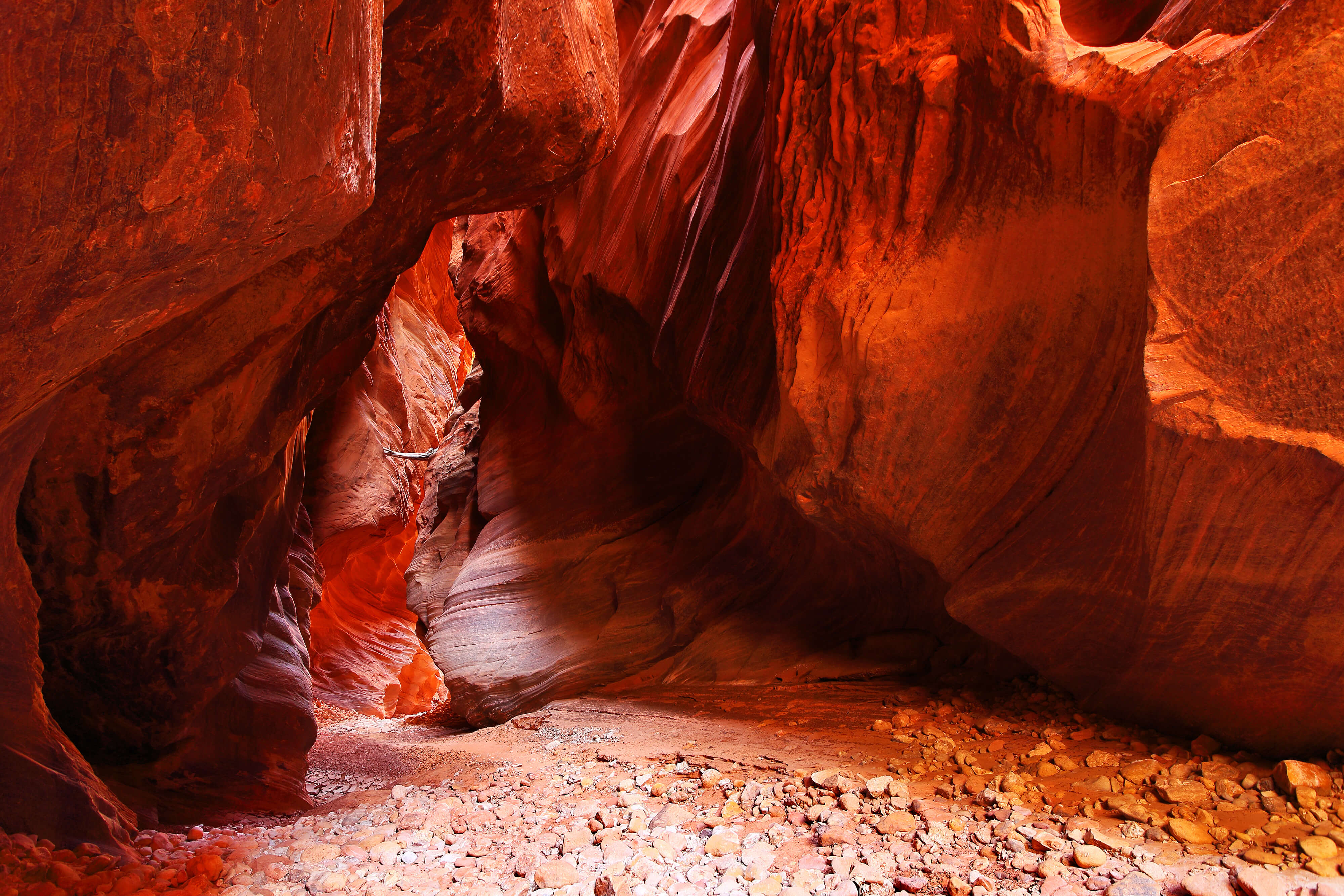
These petroglyphs, or “water glyphs,” as they’re commonly called, are unique in both size and location. While other petroglyphs and pictographs are usually sequestered under a vertical overhang where they’ll be protected from the weather, these symbols typically lie along cliff edges, carved directly into the horizontal rock surface. The symbols are usually 48 inches long by 24 inches wide, with grooves nearly an inch deep.
The symbol consists of circle cut in half by a single straight line. The line usually extends a distance beyond the edge of the circle, sometimes dropping off the edge of the rock. The last component is a dot. Sometimes the dot is inside the circle, sometimes outside the circle. Occasionally, there will be more than one dot or more than one circle, but there is no mistaking the glyph. It’s roughly the size of a traffic sign, etched into the solid rock of a clifftop within a few feet of the edge. Once you know what to look for, they’re hard to miss.
The symbols bespeckle a swath of more than 2,000 square miles along the Utah, Arizona and Nevada borders, referred to as the Arizona Strip. The markers seem to act something like a map of motel locations. Just as a modern traveler could look at such a map and decide where he would be assured lodging for the night, one of the Anasazi well-versed in reading these symbols would have known where he could next stop for water and shelter.
It all started when Bob Ford of Fredonia, Arizona began to notice similar markers among many of the sites he had photographed. While other men go home and watch football after work, Ford gathers his photographic equipment and heads out to catch a few pictures before the sun goes down. Over the last thirty years, Ford has photographed and explored several hundred Native American archaeological sites around Northern Arizona, Southern Utah and Southeastern Nevada. After visiting all these sites, Mr. Ford began drawing connections between the glyphs and their geographical relationship with others in the area.
As he was photographing some glyphs one evening, Ford recalls noticing that a particular glyph pointed directly toward a single tree on the horizon. The tree was only visible through a saddle in the distant ridgeline. This seemed an unlikely coincidence, given the small number of trees in the region. He suddenly remembered photographing another, similar glyph, some 25 miles away. He had a feeling it may have pointed at the exact same saddle and tree, but from the opposite side of the ridge.

Examples of “water glyph” designs, as described by Ford.
At about this same time, Mr. Ford was reading the journal of Major John Wesley Powell. An off the cuff comment from the Major seized his attention. While on one of his later surveying expeditions on the Arizona Strip, Powell took “a very old Indian” guide. Powell specifically describes how their guide would leave the group, ascend some butte or bluff, and scout around while alternately scanning the ground and then the horizon. He would walk back and announce simply, “we travel this way to find water.” Powell jokingly quipped, “Perhaps he goes up to talk to the rocks.”
Ford wondered if perhaps Powell’s Native American guide wasn’t “talking” to the rocks, but “reading” them. To assist with this theory he recruited the help of Dixon Spendlove, another amateur archaeologist. Dixon knew of several similar glyphs at other sites. Together they began a systematic survey, photographing, cataloging, and mapping both the glyphs and the directions in which they pointed.
What they discovered was nothing short of fascinating. Each glyph seemed to indicate a direction or directions (sometimes there were more than one glyph at a site) to a nearby water source: either a spring, a water pocket cache, or another settlement. When that destination was reached, there were usually more glyphs close by (sometimes within a few feet of the water source), indicating another direction of travel.
While the full extent and use of these glyphs is not known, Bob Ford and Dixon Spendlove have located, logged, and photographed more than 270 instances of the petroglyph. Their survey has taken them to three different states, throughout the entire homeland of the Anasazi.
Naturally, such prominent petroglyphs have not gone unnoticed by other locals. Theories as to their purpose abound. Some people think the glyphs were markers left by the Spanish or even the Aztecs pointing towards mines and treasure. Others maintain that the glyphs were used as sacrificial altars—the victim’s blood allowed to channel through the deep grooves and over the edge of the rock or cliff. Some believe that the symbols relate to the solstices and other astronomical events.
Despite these other claims, Ford and Spendlove remain confident of their analysis. They claim that a traveler could follow the glyphs across the entire Arizona Strip, from House Rock Valley in eastern Arizona to Beaver Dam in Nevada. By following these line-of-sight directions, they assert, a traveler can find water sources, natural water caches and ancient villages.
Ford and Spendlove are still finding new sites simply by following the symbols through the desert. Spendlove relates a personal anecdote: “The other day I was telling some of the local morning coffee drinkers about our findings and several people were skeptical. I finally told them to come see for themselves. After work we agreed to follow a known glyph to the indicated location, which none of us had ever visited. If the theory was correct, then not only should we find water, but we should also find another glyph indicating the next spring. So we went, found the water and the next glyph. They stopped heckling.”
“This thing is serious,” he continues. “We’re at the point now, that if we were to find the petroglyph at a site and not find water, I would say the water has dried up since [the Anasazi] were here. We’re that sure.”
 Next Post