The Lakes Backcountry
The Lakes Backcountry, as it’s referred to by the Forest Service, is a prodigious chunk of roadless land almost one fourth the size of the High Uintas Wilderness. It covers one hundred thousand acres of the trailing western end of the Uinta Mountains, before they peter off into the meadows and rangeland surrounding Oakley, Utah. The Mirror Lake Highway slices between this segment of mountainland and the wilderness area to the east.

Wetland grasses sprout between branching rivulets and pools in a high basin of the Lakes Backcountry.

The Middle Fork of the Weber River scuttles across a cobbled bed through alternating meadows and thickets.
Mark, my long-time friend and hiking partner, rode shotgun in my beat-up Camry, our packs and gear piled high in the back seat. The car crunched and rattled over a dirt road, gradually threading its way into the mountains. We parked at a trailhead surrounded by fidgeting aspens and disembarked into the woods.
The trail wasted no time in gaining elevation. Metabolic byproducts began to burn inside my calves and quadriceps, and I wondered why I wasn’t in better shape. A busy schedule and the demands of caring for a two-year old had permanently disrupted my already tenuous exercise regimen. I made a mental note that hiking is not as enjoyable if you’re wheezing. I derived some malicious satisfaction from noticing that Mark wasn’t faring any better than I.
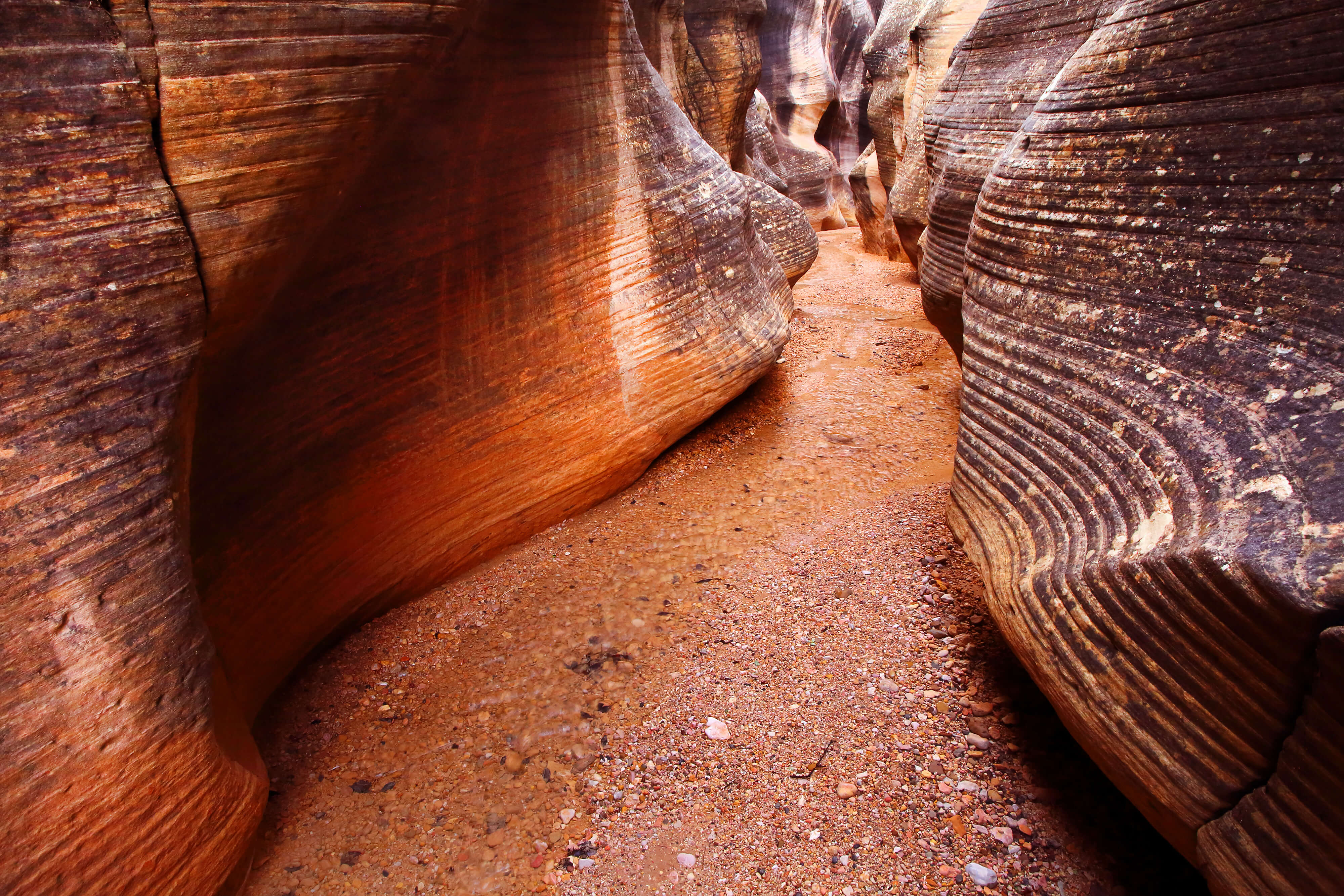
Off to our left, the Middle Fork of the Weber scurried along a shallow, rocky path. After following the river for a few hours, we broke away from both the water and the hiking trail. Off to the right, pines and spruce marched up the side of the canyon. We scrambled upwards past stands of aspen, negotiating small cliff bands between alternating patches of meadows and trees. Eventually we stumbled across the sparse remnants of an old trail. By the look of it, the path hadn’t been used in years. The trail seemed to fade and then re-materialize on a whim. At one point we spent an hour pressing through thick trackless brush before catching sight of a rotting log broken down by the boots of past hikers. Once or twice the trail briefly surfaced as a single rock stacked on top of another—the remains of a cairn once carefully set in place. Along one unusually clear segment, we passed a broad old aspen with a carving in its trunk. After a moment of scrutiny I managed to decipher a date: 1951.
By most standards, sixty years is shorter than the blink of an eye. Here in the West, and especially in Utah, it’s a different story. Sixty years is more than halfway back to a time when grizzlies and wolves roamed freely among these mountains. Not too long before that, trappers, mountain men, and the Ute called the Uintas home. Almost all the human inhabitants of this region were transitory. They came and they went, much like the faint trail we followed. A few left their names behind as memorials. Men like Kit Carson, William Ashley, and Ed Cassidy left their footprints in both the local history and the folklore.
In the short intervening years since that time, legends have grown like weeds. Folklore tells of lost Spanish gold mines in these mountains. Some people believe that the Uinta Mountains were the ancestral lands of the Aztec. They say the Aztec people traveled north and hid a vast treasure trove of their gold here in the Uintas, sometime after Cortez arrived. Tales of ancient statues, Spanish prospects, and gold nuggets float around like campfire smoke on a cold night.
[pullquote align=”full” cite=”” link=”” color=”#ff9442″ class=”” size=””]Most experts agree there is no gold in the Uintas. However, two men created turmoil when they claimed to own a map showing the location of several lost mines.[/pullquote]
Finally I caught sight of rippling water between the tree trunks ahead. We skirted the edge of a small lake until locating a swath of level ground. A fire ring overgrown by lumps of green moss decorated the center of the site. I thought longingly of the fly rod I had carried all the way up the mountainside, but darkness was descending quickly. Instead I dumped my backpack on a bare rock and began setting up camp.
Most experts agree there is no gold in the Uintas. However, two men created minor turmoil when they claimed to own a map showing the location of several lost mines. Their names were Gale Rhoades and Kerry Boren. According to their story, the maps were found on a group of dead Mexicans in 1830. Supposedly the Mexicans had been harvesting gold from one of the lost Spanish mines. They were on their way to pick up supplies and drop off some gold when they were massacred by a group of Ute Indians. The Rhoades family allegedly kept the map a secret, passing it down from generation to generation until it eventually fell into the hands of Gale Rhoades.
Rhoades died of heart failure several years ago while prospecting in the Uinta Mountains. His estranged friend and business partner, Kerry Boren, supposedly continued the hunt for gold after his friend’s death. To this day, Boren insists that he has personally seen one of the mines. His claims may seem wild, but they fanned the fires of belief amongst many locals and old-timers. Since originally making those claims, Boren landed himself in Utah State Prison, convicted of murder.
Less than a mile west of our camp, a small lake bears the Rhoades family name, though it somehow lost the “e” on USGS map labels over the intervening years. It seems fitting, somehow, that such a middle-of-nowhere place pays tribute to this small piece of history.
After a sparse dinner, our campfire’s glow receded and the forest re-asserted its dominance. The smell of pines and wetlands pervaded our small camp. Along with the smells came the familiar sounds of night in the forest. Mark walked down to the water’s edge; a moment later I heard him call out, “Hey, you’ve got to come see this.” I clicked off my headlamp and complied. As I emerged from the trees, a strange landscape lay before me. The full moon painted the whole scene with otherworldly light. Lake, trees, and cliffs all appeared metallic and statuesque. They seemed to be carved from a vast block of silver metal. The whole western sky pulsed with silent strobes of white light. I was confused for a moment, before I realized that the flashes originated from an electrical storm hidden beneath our elevated horizon.
A strange silence was overpowering. It wasn’t literal silence: in reality the space around me was full of hushed sound. Pine boughs fidgeted in the stirring air; the lake patted gently against its shore. It was a silence of the soul; an absence of time. For a brief moment, I could feel the mountains staring.

The setting sun plays an atmospheric trick of with the clouds called anticrepuscular rays. They make it seem as though a sunburst appears on the opposite side of the sky.
I awoke early the next morning. The previous night’s stillness had evaporated, cut by a light breeze and the circular cadence of rising trout. I waded out into the lake’s cool water with fly rod in hand. On my third cast, a bonneville cutthroat trout snapped up the fly at the end of my line. I grinned stupidly as I reeled it in and removed the hook. The fish’s red-slashed jaws flashed as I released it back into the water.
Gathering thunderheads finally persuaded us to pack up our gear and start moving back towards the trailhead. Through drizzling rain and dripping vegetation, we passed the old carved aspen and found the Weber River again. We halted to watch as a female moose stared us down through fifteen feet of tall grass. We followed her at a distance through several meadows, where she met up with another of her kind. Eventually we arrived at the trailhead and packed up our gear. Behind us, the rain pattered away at our fading footprints.
 Previous Post